


So far this inventory covers 800+ miles of enigmatic stone lines in California.
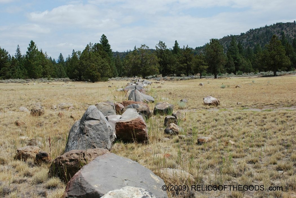
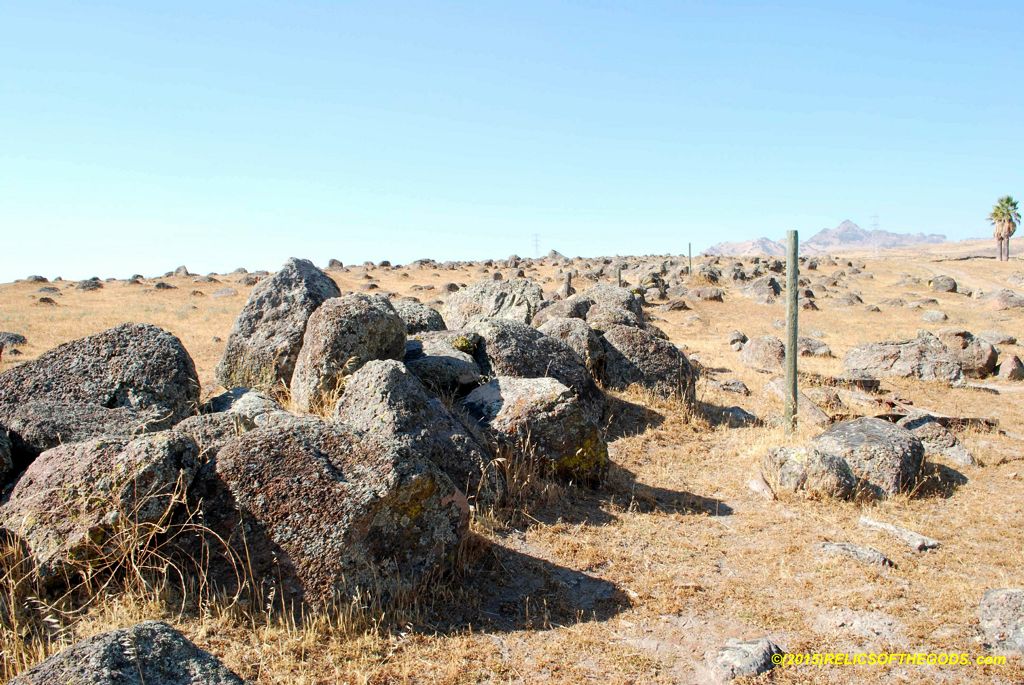
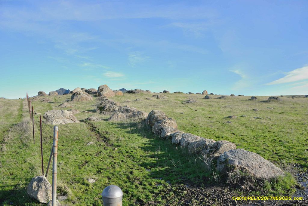
Stone line types covered in this inventory are:
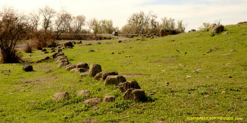
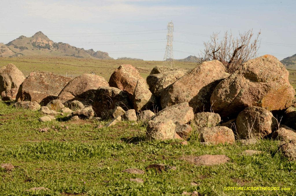
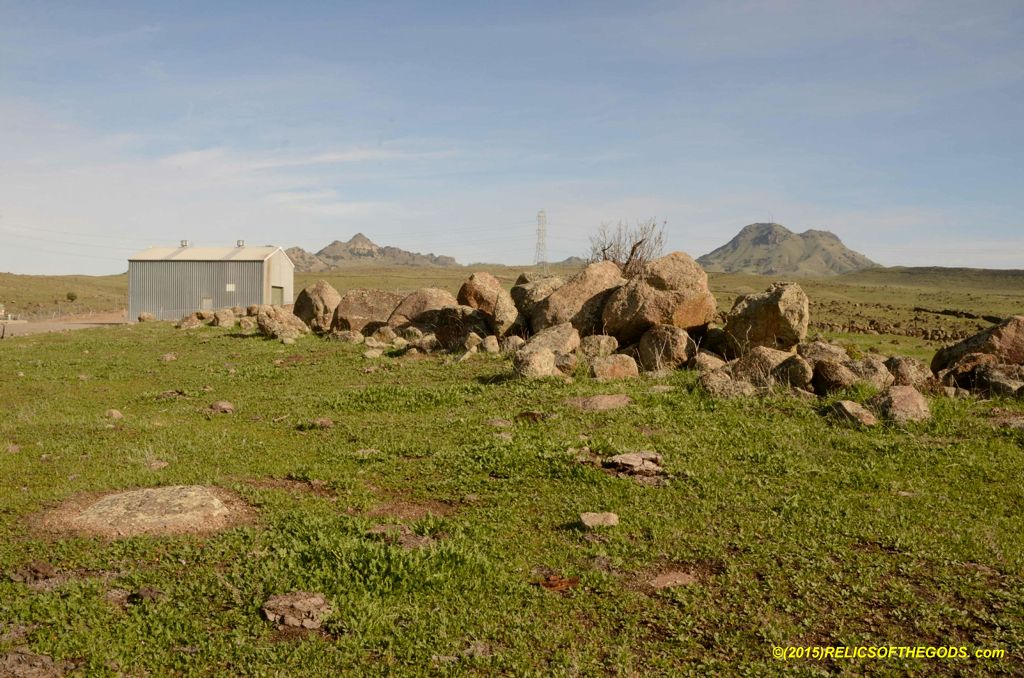
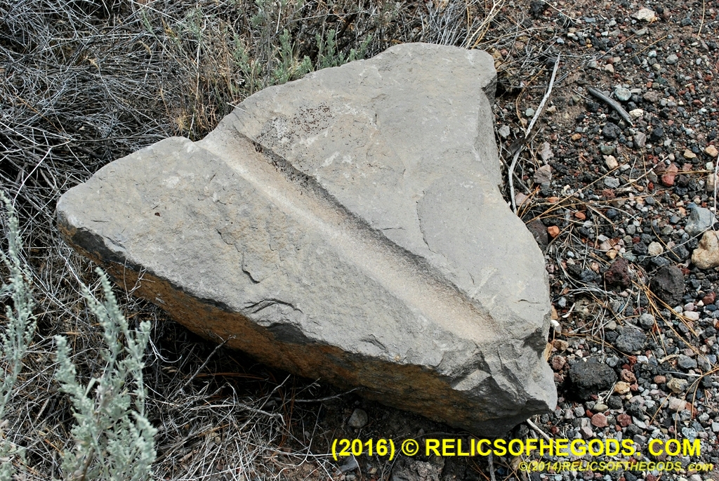
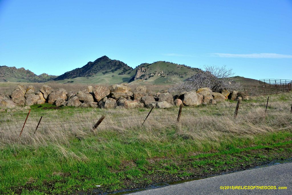
Stone lines have been and are continuing to be destroyed for land development, use in landscaping and various other reasons.
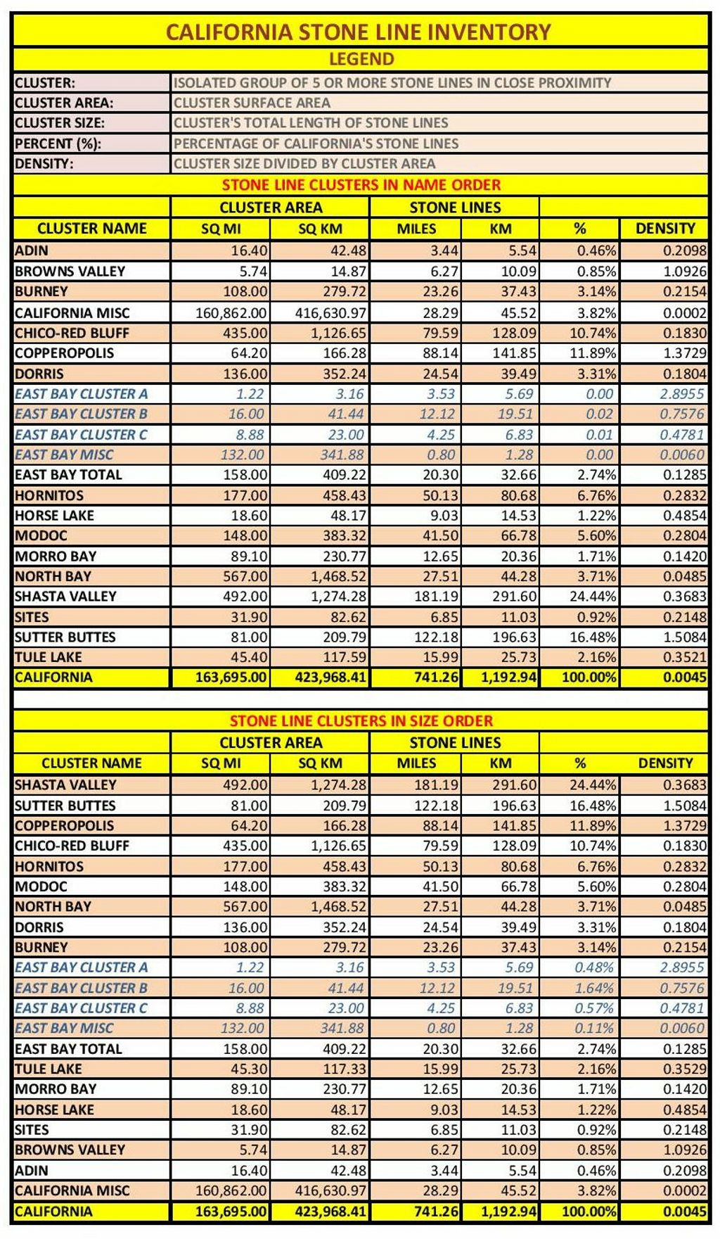
About 800 miles of stone lines were mapped. Of those stone lines 97% are found in 17 clusters concentrated into less than 3% of the surface area of California.
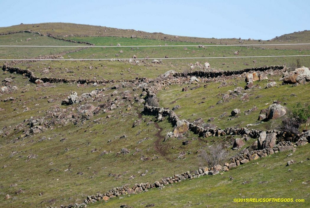
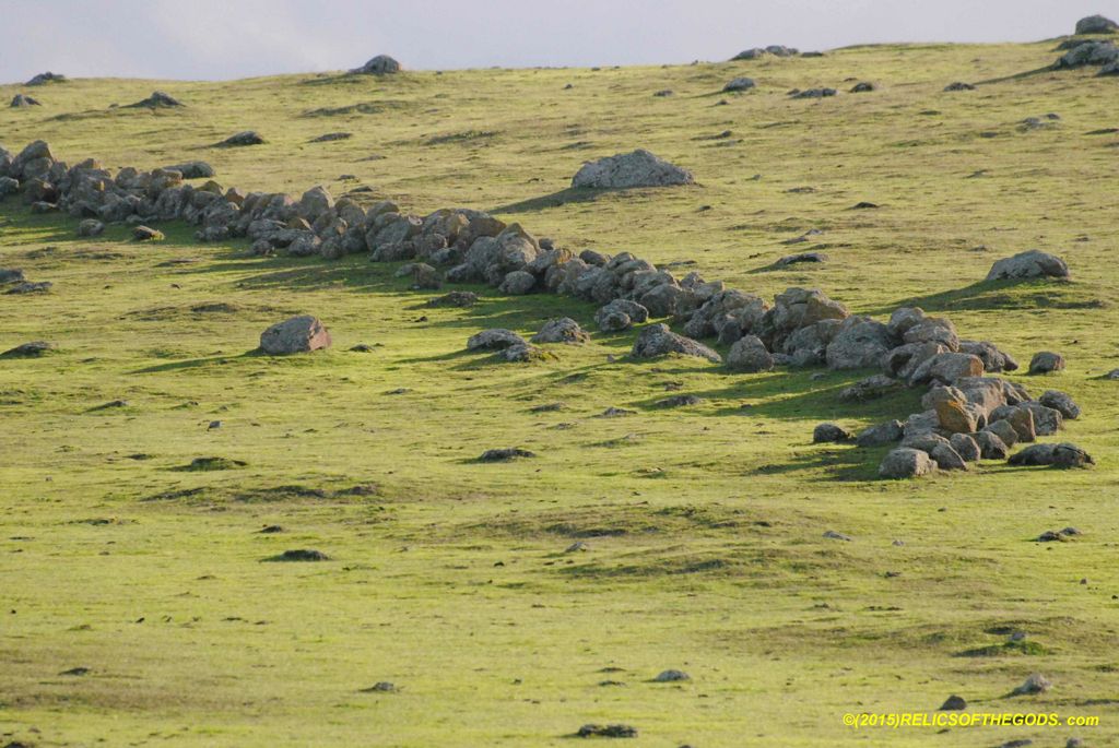
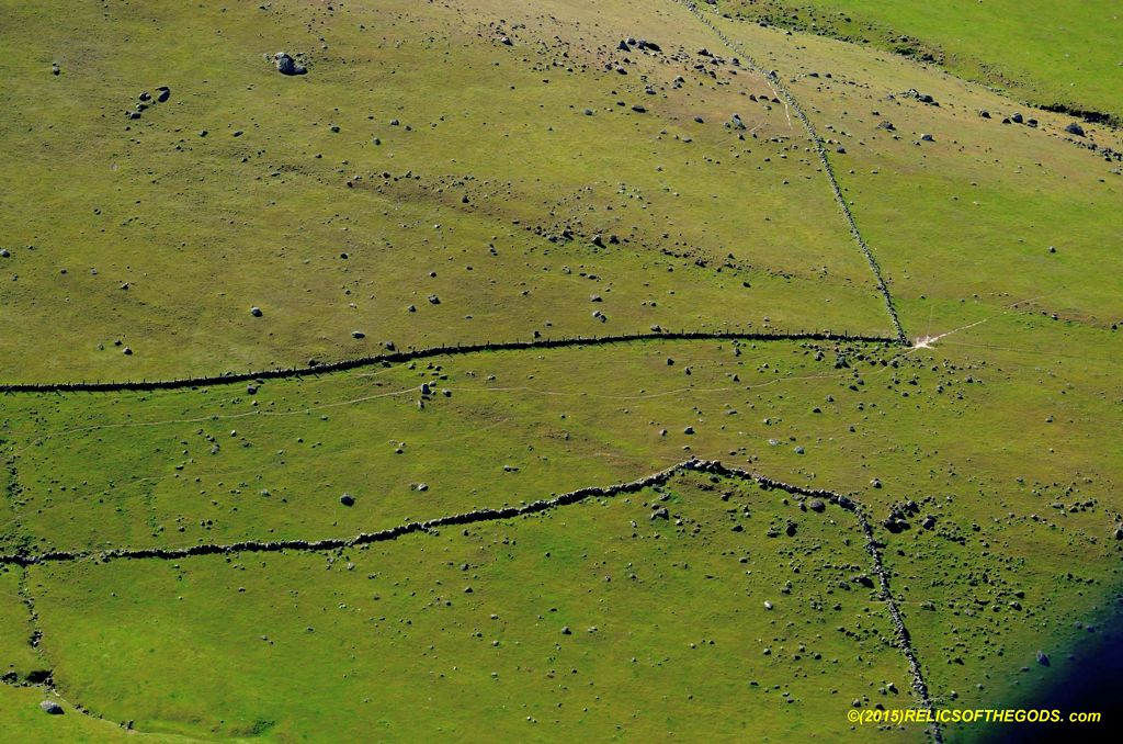
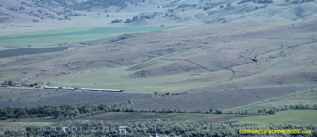
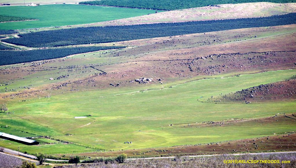
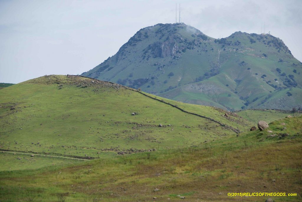
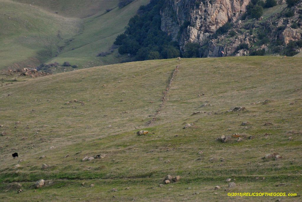
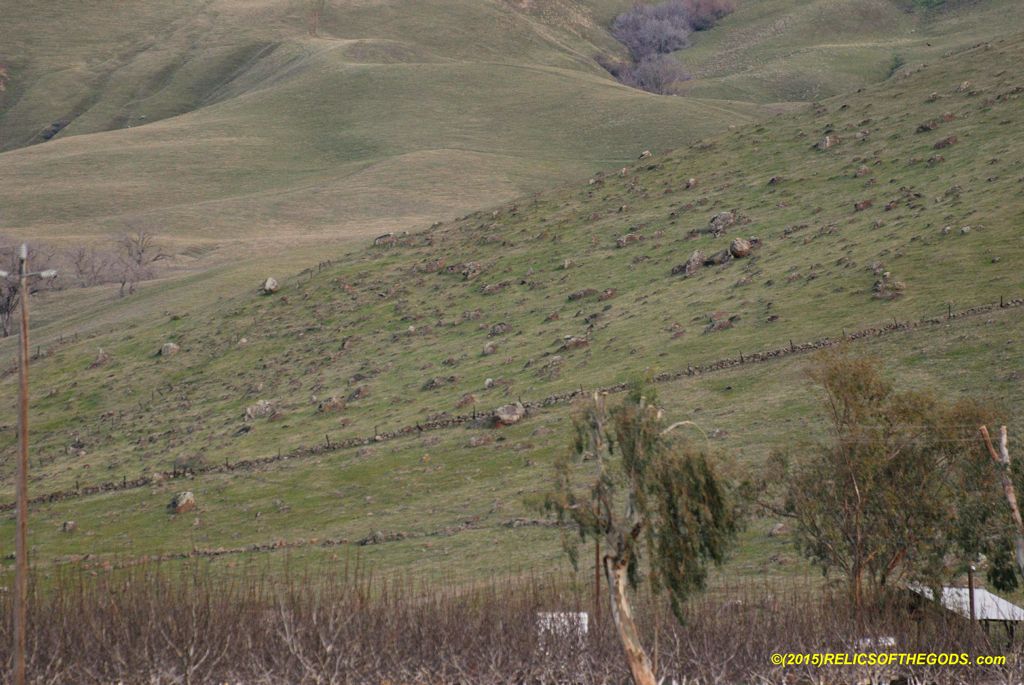
Within each cluster the stone lines are laid out in strange patterns. The pattern of the stone lines is different for each cluster.
The patterns of the stone lines within the clusters does not match any modern structure.
The Shasta Cluster is the largest with over 200 miles of stone lines.
The Sutter Buttes is the second largest with over 130 miles.
The Shasta and Sutter Buttes clusters contain about 40% of all stone lines mapped.
The top 5 clusters contain about 75% of all mapped stone lines.
The famous East Bay Walls has less than 3% of all stone lines or about 25 miles mapped.
This table is a breakdown of the map data. The first section lists the clusters alphabetically and the second lists the clusters by size.
Without Dave Cuneo's hard work and skill at locating stone lines in G.E. these maps would not have possible.
G.E. mapping tools were used to create the stone line overlays.
Slope percentage is calculated in GOOGLE EARTH and CalTopo.com
The stone line maps include options for different background maps including USGS Quad Maps.
The stone location lines often do not disclose breaks and gaps in the stone lines. This may be checked by simply zooming in on the image.
Additional segments are in the left column menu.